Map Processor
A downloadable tool for Windows
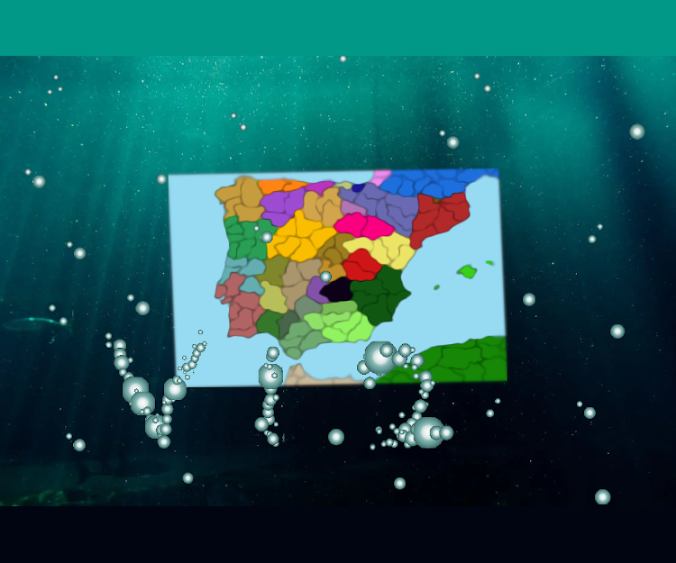
This is a simple console application that calculates provinces' positions, and their neighbours based on an appropriate input image.
You can use the application from a console (called Command Prompt on Windows or Terminal on Linux). The program uses flags which can be accessed after a quick
`Map.exe --help`
Command.
The application also includes automatic flags (in default_flags.txt) which can be changed for faster input.
There are also two examples next to the program so feel free to experiment with those.
GitHub page: https://github.com/Shadow9876GitHub/Map-Processor
That's all for now. Thanks for your attention.
Download
Leave a comment
Log in with itch.io to leave a comment.